Why I starred openstreetmap/iD

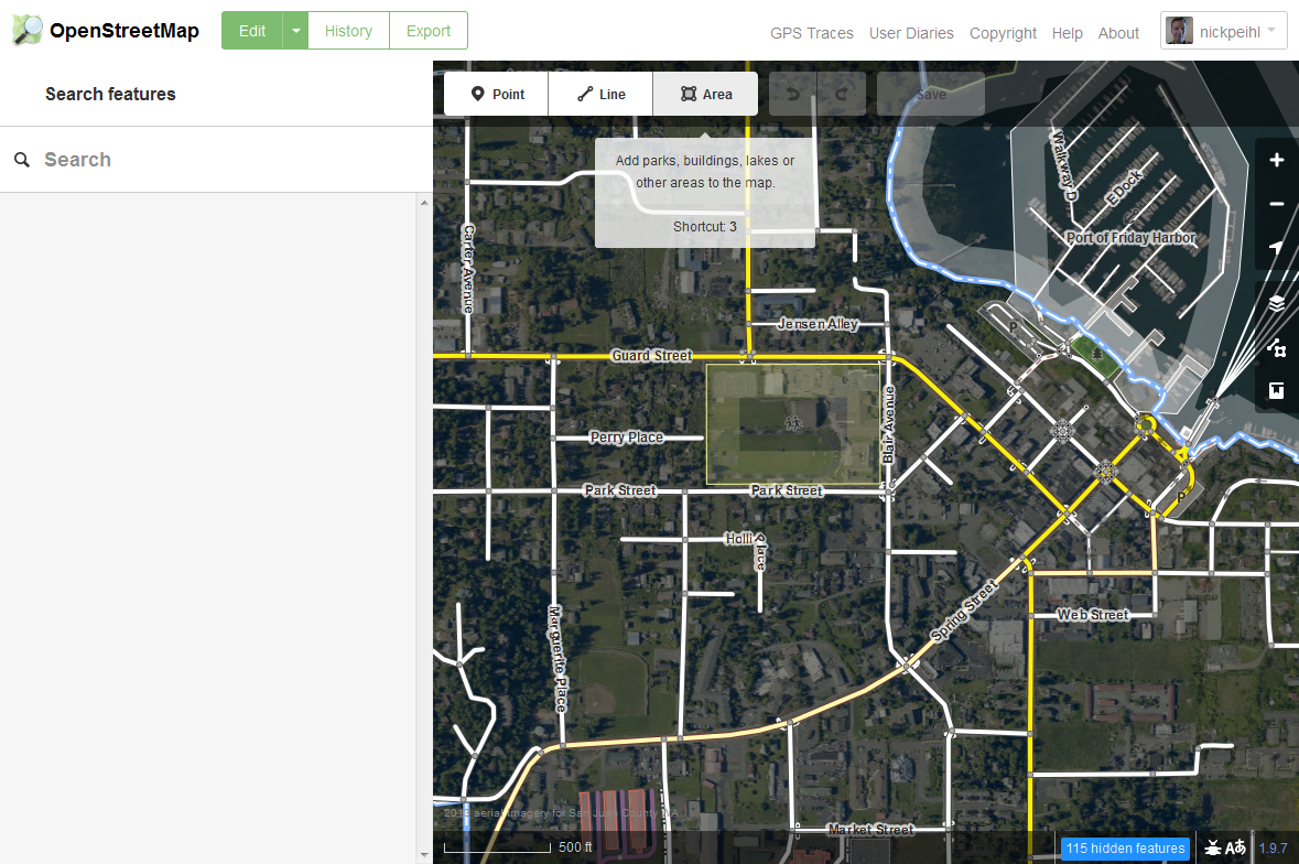
The OpenStreetMap iD Editor was released on May 7, 2013, the same day I starred it on GitHub. At the time I had never contributed to OpenStreetMap1. I found the Potlatch and JOSM editors clunky and difficult to use. The iD editor has a much easier learning curve for beginners.
The iD editor can (and has been) extended to custom non-OpenStreetMap uses. The National Park Service has created a fork of iD editor called Places Editor which is used internally by NPS staff to edit their own map data. Bryan Housel gave a very interesting presentation on customing the iD editor at the 2016 State of the Map US conference.
Every time I think of iD editor, I come back to this Mapbox article showing a theoretical tracing concept. As far as I can tell, this plugin has not been released, but the possibilities are amazing.
“Why I starred” is a series of articles describing projects I star on GitHub and why I found them interesting. My hope is that you’ll find them interesting as well.
-
As a manager of authoritative GIS data, I was (and still am) miffed by the negative attitude of some in the OpenStreetMap community towards data imports. ↩